

Coastal
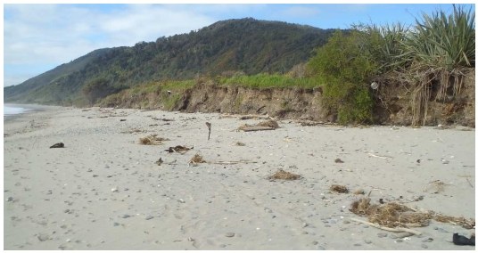
Coastal Erosion near Ngakawau River mouth (2015). Source WCRC.
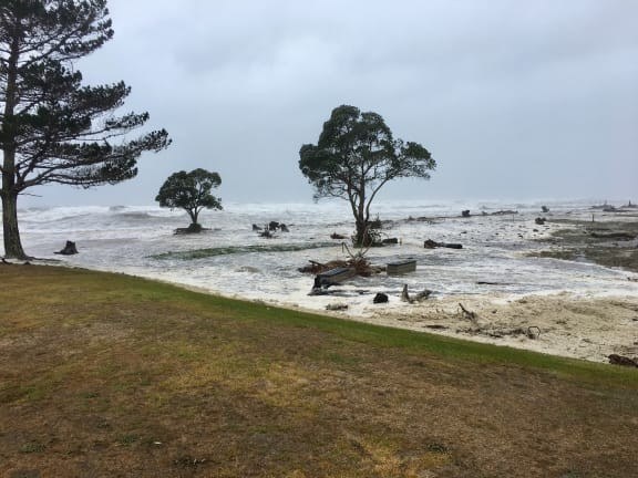
Coastal Inundation at Carters Beach during ex-tropical cyclone Fehi. Source WCRC.
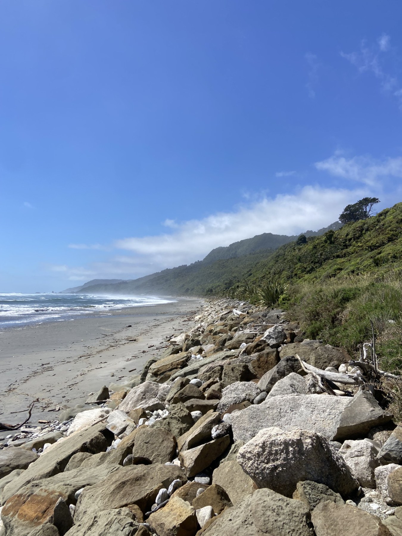
Seawall protecting SH6 at Fox River. Source WCRC.
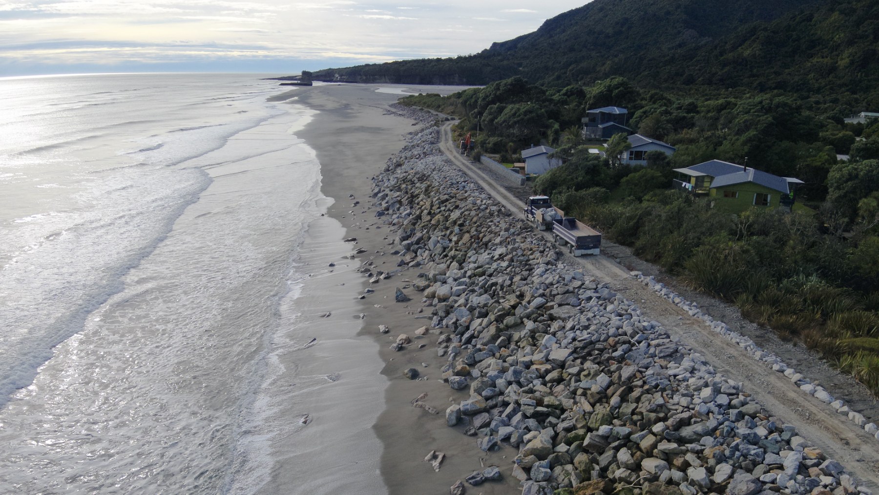
Seawall at Punakaiki. Source WCRC.
Our Natural Hazards Portal provides detailed, location-specific coastal flood modelling, identifying areas at risk of flooding during extreme storm surge events. For any further information, please contact naturalhazards@wcrc.govt.nz.
The reports linked below explain our methodology behind coastal hazard mapping and how this work has been applied to Te Tai o Poutini Plan to help mitigate risk of property damage in the future.
The following technical reports cover the mapping of current and future coastal hazard risk on the West Coast. They include details on communities with high rates of coastal erosion, and areas exposed to 1% AEP (1% chance each year) storm-surge flooding at current and future sea levels:
