River flooding
Floods can happen quickly, and even small amounts of water can cause serious damage to homes, roads and critical services. Knowing your flood risk and making a simple household plan now will make it easier to act quickly and safely when heavy rain or river levels rise. Flood » National Emergency Management Agency
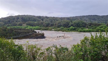
Grey River near Taylorville, October 2025. Source: WCRC.
What is river flooding?
River flooding is when water levels in a river rise above the riverbanks, causing water to overflow across the floodplain or nearby land. This usually happens due to intense or prolonged rainfall over a river’s catchment area. River floods are among the most frequent and costly natural hazards in New Zealand, affecting both urban and rural areas.
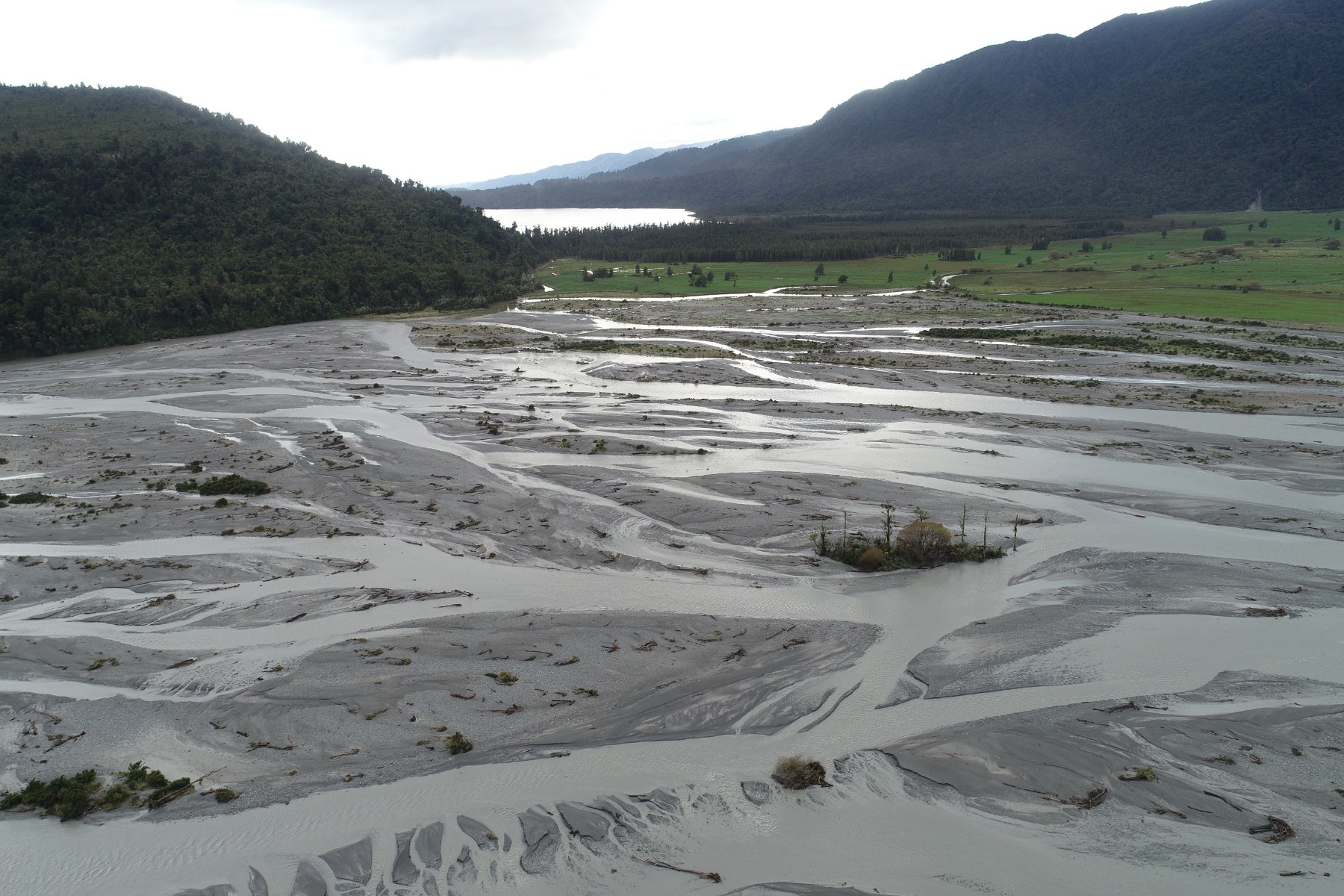
Wanganui River braids. Source: WCRC.
Why do rivers flood?
The size and frequency of river floods depend on:
- Heavy rain or a long period of rain quickly increases the flow of the river
- Varying environmental conditions can cause rivers to flood differently (e.g. steep catchments and pre-saturated soils can cause rivers to flood quicker).
Impacts of river flooding
- Flooding can pose a high level of threat to life. Never swim, walk, drive or play in flood waters.
- Just 30cm depth of flood water can cause you to lose control of your vehicle if attempting to drive through flooding.
- Floodwaters can inundate homes, businesses, farmland, and infrastructure.
- High flows can erode riverbanks, damage bridges, roads, and move sediment or debris downstream.
- Rural communities often face risks to stock, crops, and rural access roads.
- Urban areas may see floodwaters pooling on streets, disrupting traffic and services.
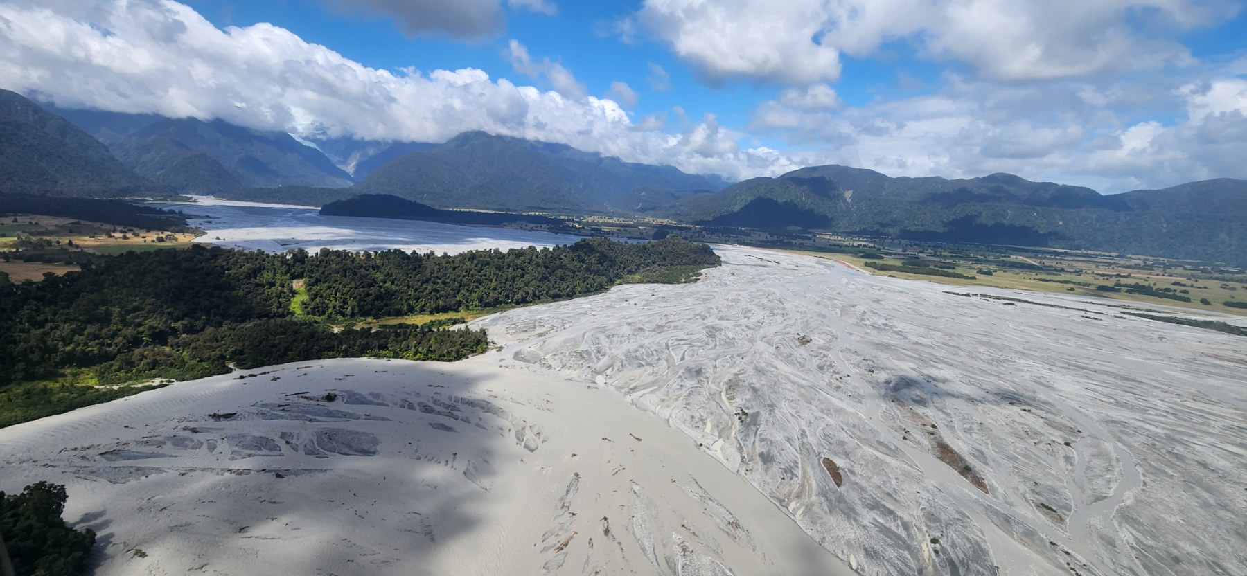
Waiho River in Flood. Source: WCRC.
Flood risk zone
The Aotearoa New Zealand Flood Hazard Viewer is a key step in our national understanding of flood risk. The new tool shows areas most at risk from major rainfall-related flooding across the country, under current and future climate scenarios.
For detailed and local flood information, Regional Council flood modelling is available for the Hokitika, Grey, Buller, Waiho, and Karamea rivers. These highly detailed models should be used for property-level flood analysis whenever possible. You can view this information through the Natural Hazards Portal. For other areas without local modelling, use the Earth Sciences NZ national flood model as a broad guide.
Current access to reports and modelling is through the Natural Hazards Reports page.If you have any questions, please contact naturalhazards@wcrc.govt.nz.
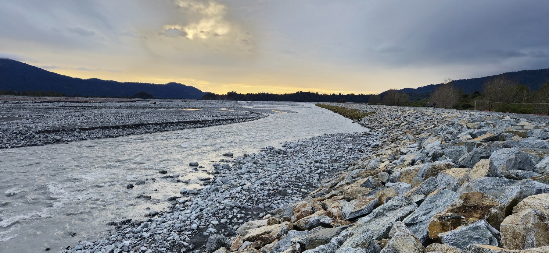
Waiho River Stopbanks. Source: WCRC.
Stopbanks
- Stopbanks are a crucial piece of flood protection infrastructure for both urban and rural communities on the West Coast, that can be found alongside flood prone rivers.
- While stopbanks provide important protection against flooding, they are designed to cope with floods up to a certain size. In rare, extremely large floods, water may rise above the top of the stopbank or cause it to be damaged or breached. For this reason, living behind a stopbank does not guarantee safety during all flood events. It is important to stay informed and be prepared to act in case of a major flood, even if you are in an area protected by stopbanks.
- The WCRC administers 23 individual rating districts which contains river control and flood protection assets to reduce the severity of impacts from flood events. More information of the rating districts can be found here.
Monitoring
Councils maintain networks of rain gauges and river level sensors across river catchments for early warning systems. River flow data can be found here.
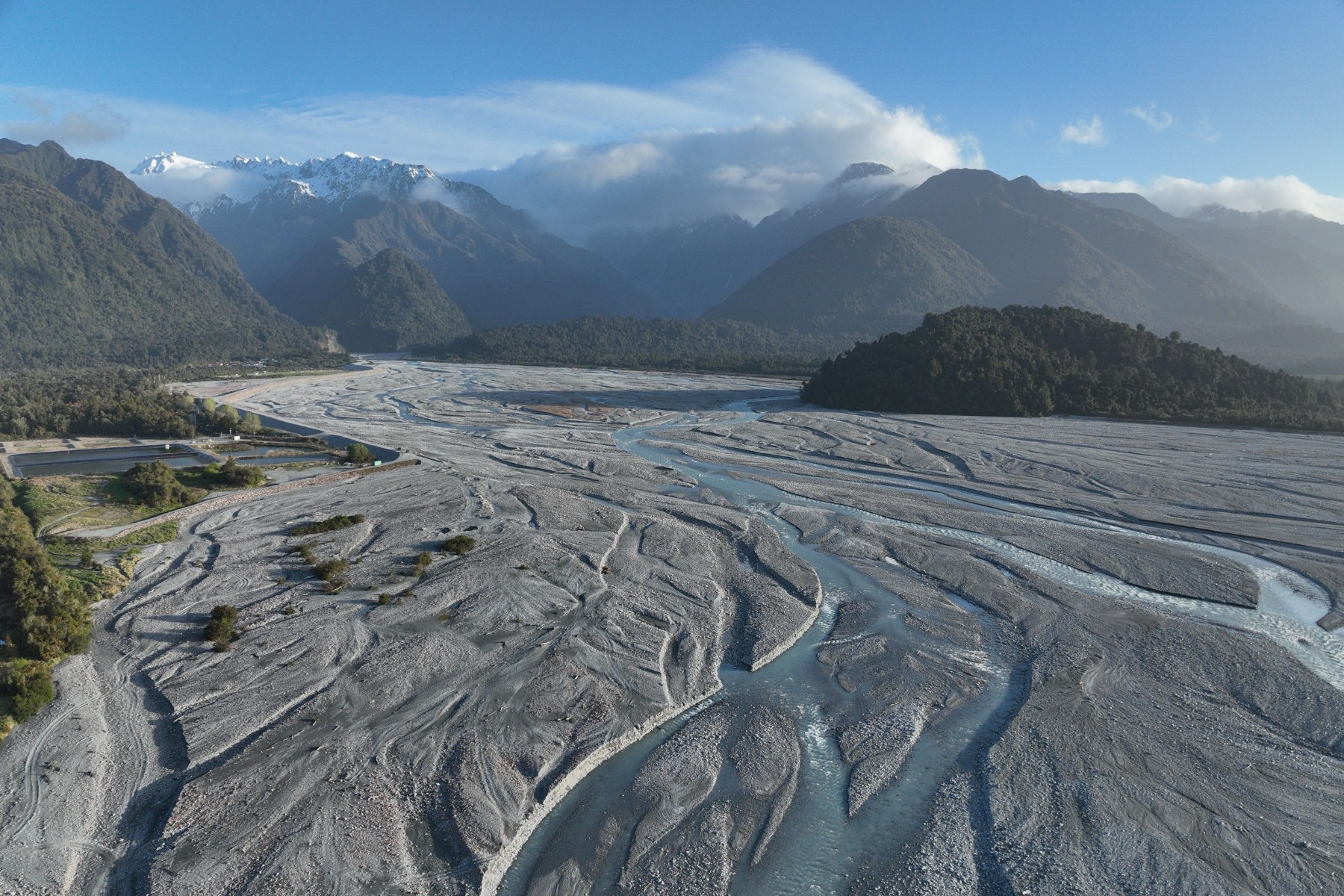
Waiho River looking upstream towards Franz Josef Glacier. Source: WCRC.
Useful technical terms
- Floodplain: Low-lying land next to a river regularly affected by overflows.
- Stopbank: An embankment built to prevent floodwater from reaching land adjacent to a river.
- AEP is the chance that a flood of a particular size or bigger will happen in any given year, expressed as a percentage. For example, a "1% AEP" flood has a 1% chance of happening in any year.
- ARI is the average number of years between events of that size, also called the "return period." For example, a 100-year ARI means that, on average, such a flood would occur once every 100 years.